Fewer Sensors, Clearer Images: The Future of Seismic Research
05-19-2025
Researchers at Purdue University have theorized a new way to see what lies beneath the Earth's surface. This innovative method, developed by Ph.D. student Sayan Mukherjee and Professor Yunyue Elita Li from the Earth, Atmospheric, and Planetary Sciences Department at Purdue University, could greatly enhance industries that require images of the subsurface, all while saving costs and boosting efficiency. The proposed seismic wave acquisition scheme can capture high-resolution images of the Earth’s shallow subsurface using less data than before. Their work has been published in Geophysics.
Seismic imaging is essential in various fields, such as environmental monitoring, infrastructure development, and energy exploration. Traditionally, achieving high-resolution images of the Earth's subsurface requires a vast network of sensors to collect large amounts of data. However, Mukherjee and Li's research focuses on improving the efficiency of this process. “Seismic surface waves that propagate closer to the surface of the earth can help in high-resolution imaging of the near subsurface,” says Mukherjee. “However, seismic data acquisitions suffer from physical or financial constraints limiting the number of sensors and seismic source locations.” Their discovery focuses on designing an optimal sensor geometry that can generate high-resolution near-surface images with limited data.
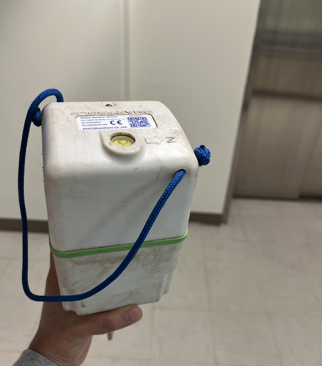
A seismic sensor. (Photo provided by Mukherjee)
Seismic imaging typically relies on deploying an extensive array of sensors across a site to capture high-quality data. These methods can be logistically challenging and financially demanding. The research is especially relevant in areas such as environmental monitoring, civil engineering, and resource exploration. Industries like oil and gas, geothermal energy, and groundwater management require precise subsurface images, yet standard seismic surveys can be too expensive. The new sensor optimization technique developed by Mukherjee and Li provides an innovative, scalable solution that can be tailored to different geological environments and budget constraints.
“The discovery can be used to optimally design seismic acquisition geometries instead of randomized location designs that can be used to better reconstruct the full data,” says Mukherjee. “As we continuously monitor the subsurface, we tend to generate huge amounts of data if we use traditional seismic acquisition design. The optimal design can be helpful in reducing the data acquisition and storage cost.”
Mukherjee provides a relatable analogy demonstrating how their work is practically applied, “Commonly, I compare our discovery with saving digital images on a computer. Images can be saved in different types (.png, .jpg) at different resolutions, storing limited data. While opening the image, the full image is restored with a resolution dependent on the volume of data elements stored. Similarly, for seismic waves, we acquire the data at the optimized locations that can later be used to reconstruct high-quality full data,” says Mukherjee.

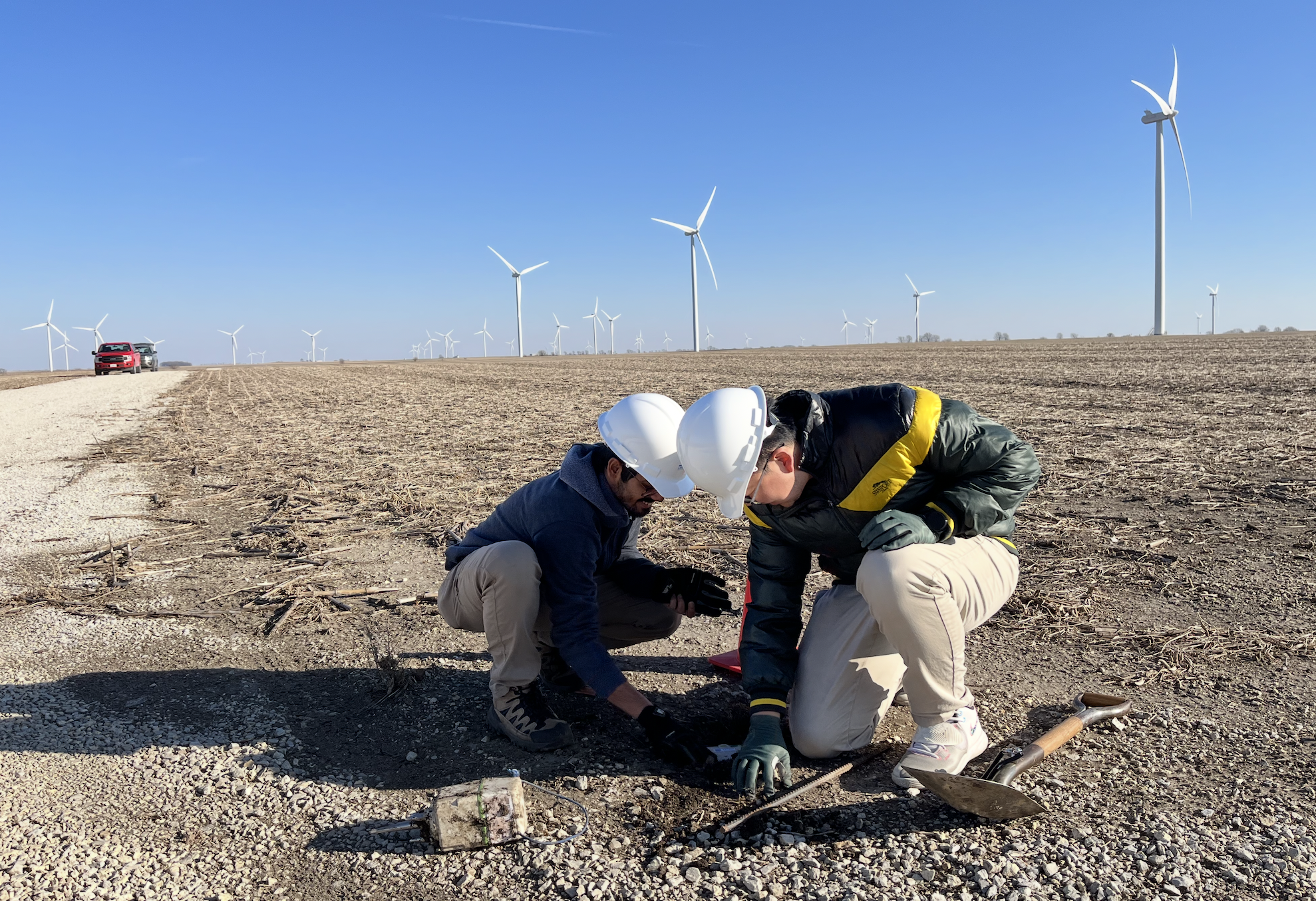
Installation of the seismic sensor. (Photo provided by Mukherjee)
The breakthrough was made possible by using Purdue’s high-performance computing system to simulate synthetic seismic data from subsurface models. “We used the Purdue community cluster to simulate synthetic seismic data from subsurface models,” says Mukherjee. While the study focused on theoretical advancements, the implications for real-world applications are significant. Optimized sensor layouts could enhance early warning systems for earthquakes, environmental monitoring, and resource exploration. Mukherjee and Li hope their findings will inspire further developments in seismic imaging and spur industry-wide adoption of optimized sensor placement. The DOI is https://doi.org/10.1190/geo2024-0140.1
To watch a video made by our EAPS K-12 Outreach Coordinators that highlights the work of Mukherjee and Li, please visit the Superheroes of Science YouTube channel.
About the Department of Earth, Atmospheric, and Planetary Sciences at Purdue University
The Department of Earth, Atmospheric, and Planetary Sciences (EAPS) combines four of Purdue’s most interdisciplinary programs: Geology & Geophysics, Environmental Sciences, Atmospheric Sciences, and Planetary Sciences. EAPS conducts world-class research, educates undergraduate and graduate students, and provides our college, university, state and country with the information necessary to understand the world and universe around us. Our research is globally recognized, our students are highly valued by graduate schools, employers, and our alumni continue to make significant contributions in academia, industry, and federal and state government.
Written by: David Siple, communications specialist, Department of Earth, Atmospheric, and Planetary Sciences (EAPS) at Purdue University.