

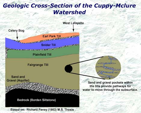
| The geology of the Cuppy-McClure Watershed was largely influenced by the movement of glaciers through northwestern Indiana. The last major glacial episode to reach Indiana was the Wisconsin about 70,000 years ago. The glaciers deposited large amounts of till, which is a material composed of a mixture of various types and sizes of rock fragments. The source of these rock fragments can be from anywhere along the glaciers path, and these rocks are broken into fragments by the crushing and grinding of rocks and sediments in the glacier. There are four known layers of till underlying the Celery Bog area: the Earl Park till, the Snider till, the Plainfield till, and the Fairgrange till (see cross-section below). These different layers correspond to the advances and retreats made by the glaciers. Layers of sand and gravel that were deposited by outwash from the glacier exist between some of the till layers. These layers of outwash deposits serve as aquifers, which are saturated layers of material that store and transmit groundwater. The path by which water moves from shallow, surface aquifers to the deep aquifer is not fully understood; however, it is believed that sand and gravel pockets within the tills provide pathways for water to move through the subsurface. |
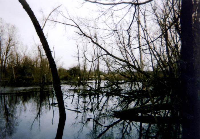
| Wetland Development |